


GIS Data Management
& Mapping
& Mapping
- Database Design & Management
- Database Development and Schema Standardization
- Data Conversion & Clash Detection
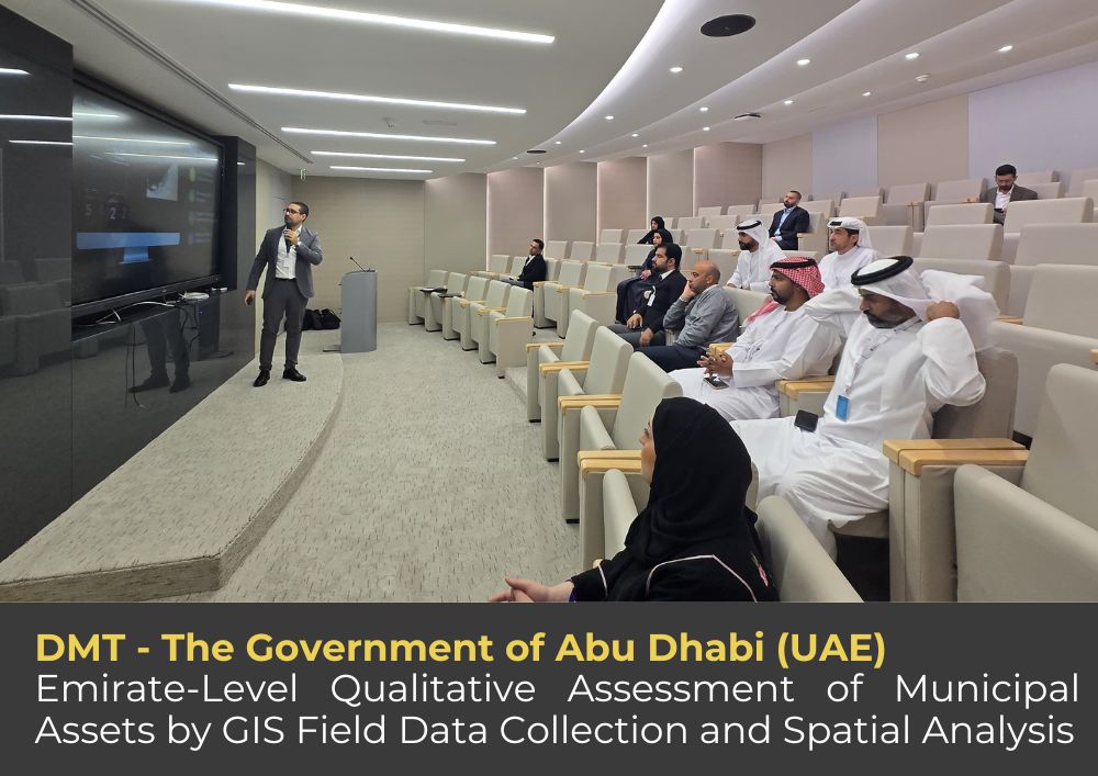
- Geospatial Data Analysis, Processing & Thematic/Asset Mapping
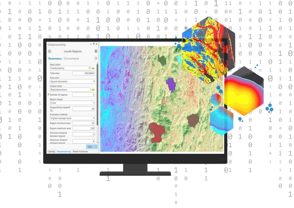
AI & Geospatial Automation
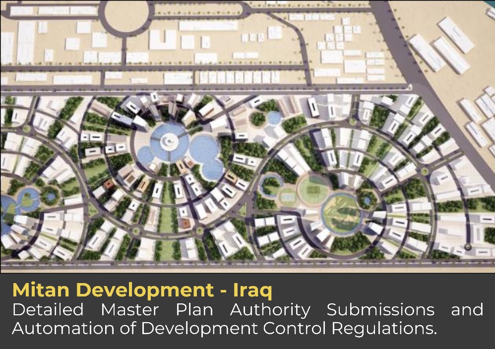
- Regulatory-Compliant GIS Submissions for Local Authorities
- Automation of Mass Reporting (DCRs, UDC)
- AI-Powered Spatial Analytics & NLP
- Workflow Assessment & Optimization
- Dynamic 3D GIS & Multicriteria Modeling

GIS Enterprise Solutions Development
- Custom & User-Friendly GIS Solutions
- Field Data Collection Tools Development
- Interactive Dashboards & Web Apps
- Digitalization of Phasing Strategy
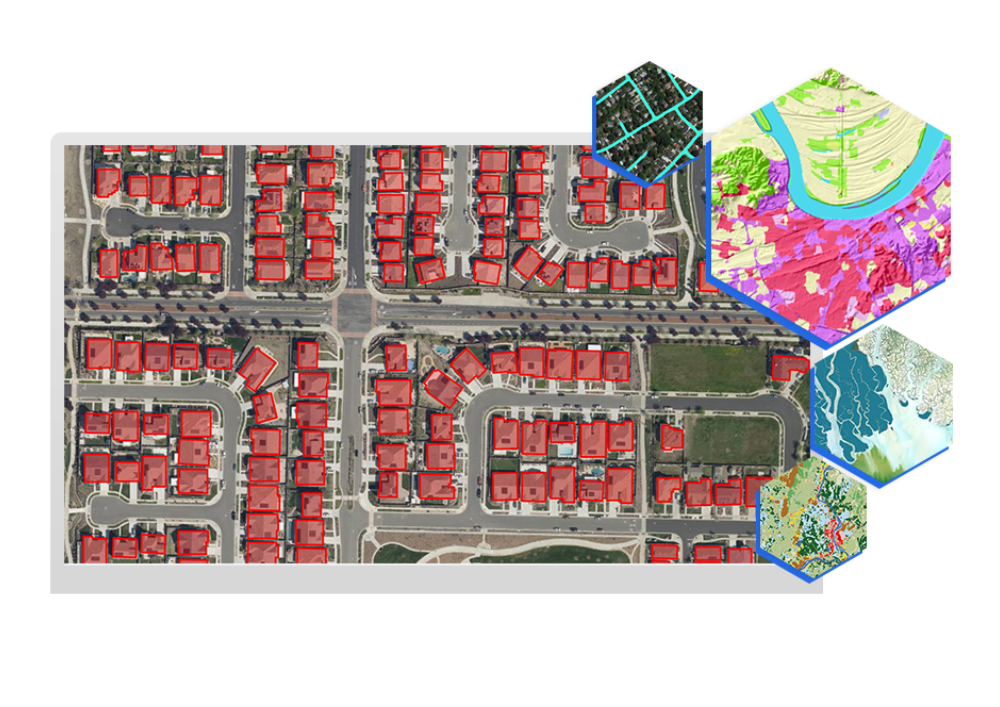
Remote Sensing & Image Processing
- Aerial Mapping & Elevation Modeling
- 3D Digital Twin and Point Clouds
- Change Detection & Land Use Analysis
- AI-Powered Object Detection & Classification
Geo-Spatial Consultancy
- Expert advice on GIS strategy and implementation
- Guidance on spatial data management
- Optimization of geospatial workflows
- Support for urban planning and infrastructure projects
- Solutions for regulatory compliance and best practices
- Assistance in leveraging spatial analytics for decision-making

Training Services
- Customized GIS training programs for teams and individuals
- Hands-on workshops on spatial data management and analysis
- Training on the latest GIS software and geospatial technologies
- Practical tutorials on field data collection and QA/QC workflows
- Capacity building for government agencies and private organizations